We use cookies to help you navigate efficiently and perform certain functions. You will find detailed information about all cookies under each consent category below.
The cookies that are categorized as "Necessary" are stored on your browser as they are essential for enabling the basic functionalities of the site. ...
Necessary cookies are required to enable the basic features of this site, such as providing secure log-in or adjusting your consent preferences. These cookies do not store any personally identifiable data.
Functional cookies help perform certain functionalities like sharing the content of the website on social media platforms, collecting feedback, and other third-party features.
Analytical cookies are used to understand how visitors interact with the website. These cookies help provide information on metrics such as the number of visitors, bounce rate, traffic source, etc.
Performance cookies are used to understand and analyze the key performance indexes of the website which helps in delivering a better user experience for the visitors.
Advertisement cookies are used to provide visitors with customized advertisements based on the pages you visited previously and to analyze the effectiveness of the ad campaigns.
These impressive water control systems are hundreds of years old and show how much the indigenous people understood the importance of getting water where it was needed and how to get it there.
A large network of exceptionally well-engineered prehistoric canals has been discovered near Safford, Arizona. Within an area of roughly 450 km2, 12 distinct canal systems, comprised of 41 canals, have been identified originating in the bajada of the Pinaleño Mountains. Conveying water from runoff and springs, the longest canal is about 13 km, and the total length of all systems exceeds 125 km. While a few canals may date to ca. a.d. 1100, the vast majority date to between ca. a.d. 1250 and 1450 and appear to be constructed by migrants from northeastern Arizona. These features represent the second largest network of canal systems in the American Southwest, and, while smaller in size and total length than the canal systems of the Phoenix Basin, they exhibit engineering sophistication not found in those systems. These canals have expanded the knowledge of prehistoric water management engineering and agricultural intensification in the American Southwest.

Surveys in Lefthand Canyon and Marijilda Canyon have recorded a rather heavy population concentrated along the canals, but the sites are nearly all small and scattered. Survey along many of the other canals recorded only a few small sites. These findings provide evidence in the form of agricultural intensification and settlement that points to a socio-political organization based on the collaboration and collective action of small corporate groups rather than a more complex social stratification and socio-political structure. Such findings parallel those reported in the Hohokam area.
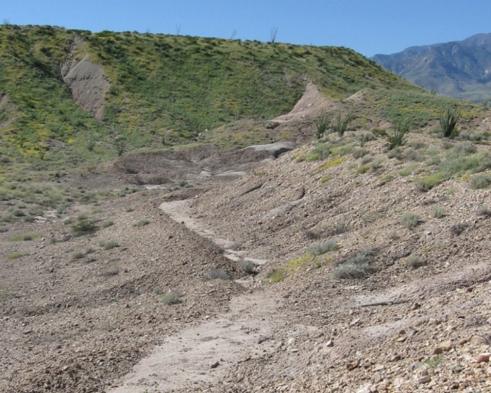
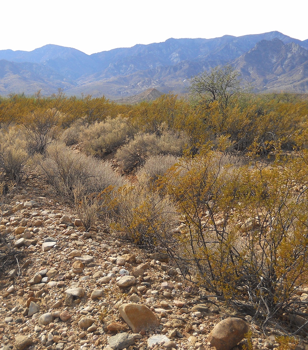
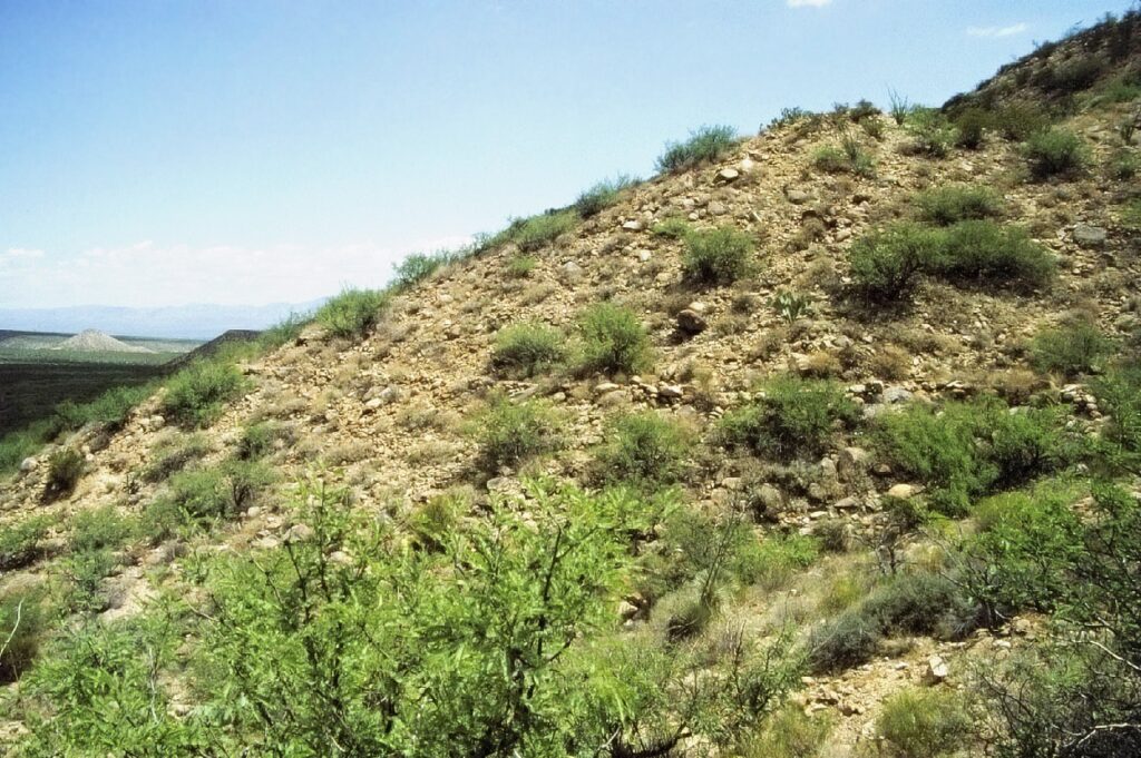
Portions of these canal systems are literally “hung” on the edges of steep sided, gently sloping mesas formed from remnant Quaternary age bajadas. The canals appear to be distinct from those found in the vicinity of Phoenix and elsewhere in the Southwest in that they obtained their water from mountain drainages fed by runoff, springs, and artesian sources, rather than from rivers. They are also unusual in that they traverse the vertically undulating to severely erratic uplands of basin and range topography rather than being restricted to a nearly level riverine floodplain. At places, the hanging structures are as much as 60 meters above their adjacent drainage basins. It appears the highest feasible locations on mesas were carefully selected for canal routes. It also seems clear that extreme energy efficiency was a major goal during the canal construction. Two credible reasons for these unique hanging routes is that their slope could be made largely independent of their surrounding terrain. And that much of the construction effort could be efficiently made across, rather than along the canal routes. Thus minimizing any energy loss or water robbing cuts and fills.

Canal cross-sections vary from 0.30 to one meter, with atypical examples up to two meters in width, and 20 to 40 centimeters in depth. Their use seems to be primarily long distance water delivery to fields, but a few of these canals are bordered by prehistoric habitation sites and well-defined agricultural fields.


Inside Arizona 2023 | All Rights Reserved.