We use cookies to help you navigate efficiently and perform certain functions. You will find detailed information about all cookies under each consent category below.
The cookies that are categorized as "Necessary" are stored on your browser as they are essential for enabling the basic functionalities of the site. ...
Necessary cookies are required to enable the basic features of this site, such as providing secure log-in or adjusting your consent preferences. These cookies do not store any personally identifiable data.
Functional cookies help perform certain functionalities like sharing the content of the website on social media platforms, collecting feedback, and other third-party features.
Analytical cookies are used to understand how visitors interact with the website. These cookies help provide information on metrics such as the number of visitors, bounce rate, traffic source, etc.
Performance cookies are used to understand and analyze the key performance indexes of the website which helps in delivering a better user experience for the visitors.
Advertisement cookies are used to provide visitors with customized advertisements based on the pages you visited previously and to analyze the effectiveness of the ad campaigns.
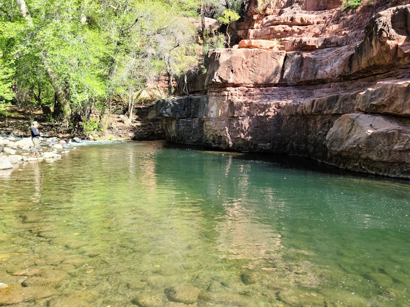
It’s hot, time to hit the water! There are many places in Arizona to cool off in a refreshing swimming hole. There are many lakes, but alas, it’s usually a bit too hot to go in the summer. Here is a list of some the best cooling off spots Arizona has to offer
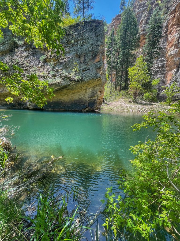
During the challenging, remote and breathtaking 8.8-mile round-trip journey along The West Clear Creek Trail the Coconino National Forest, you’ll be tempted to take a dip early in the hike by the sounds of the creek that echo through this lush riparian habitat.
Stay the course and admire the greenery; you’ll soon arrive at the rocky shores of the legendary Bull Pen swimming hole. The pool’s depths vary from three to 10 feet, and water play ranges from the exhilarating to the relaxing—a brave leap from a 20-foot cliff, tamer dives from lower outcroppings or a leisurely float through the calm waters.
Directions to trailhead: Drive south from Flagstaff on I-17 to AZ Highway Exit 179. Leave the freeway here and drive 2 miles east on Forest Road 618 to the campground. FR 618 is graveled and suitable for sedans in most weather.
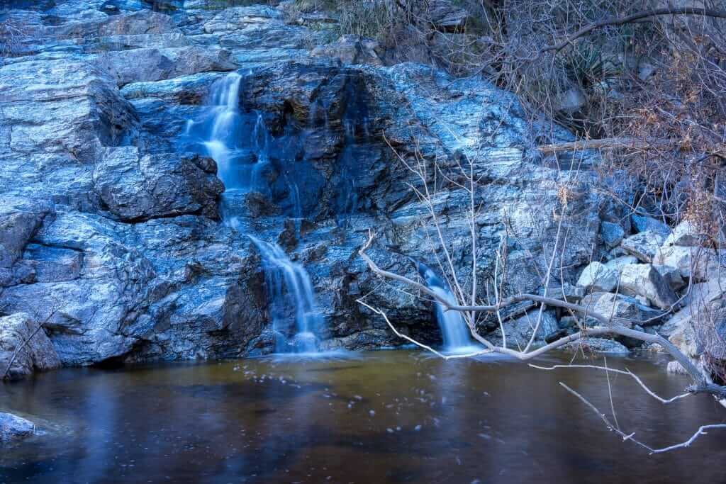
The Douglas Spring Trail is a well-marked hike that stretches less than three miles in either direction, starting out flat, then climbing at a moderately steep slope. The path to the hidden falls is lined with diverse flora (mesquite trees, creosote bushes, saguaro and prickly pear cactuses) and fauna (javelina, deer, coyotes).
Take your time to enjoy the vistas before arriving at the tumbling waters of Bridal Wreath Falls. Depending on the time of year, the flow can range from a roaring 20-foot-plummet to a mere trickle.
Directions to trailhead: Travel I-10 to Tucson, take exit 257 and head east on Speedway Boulevard, which dead-ends after 17.5 miles at the Douglas Spring Trailhead.
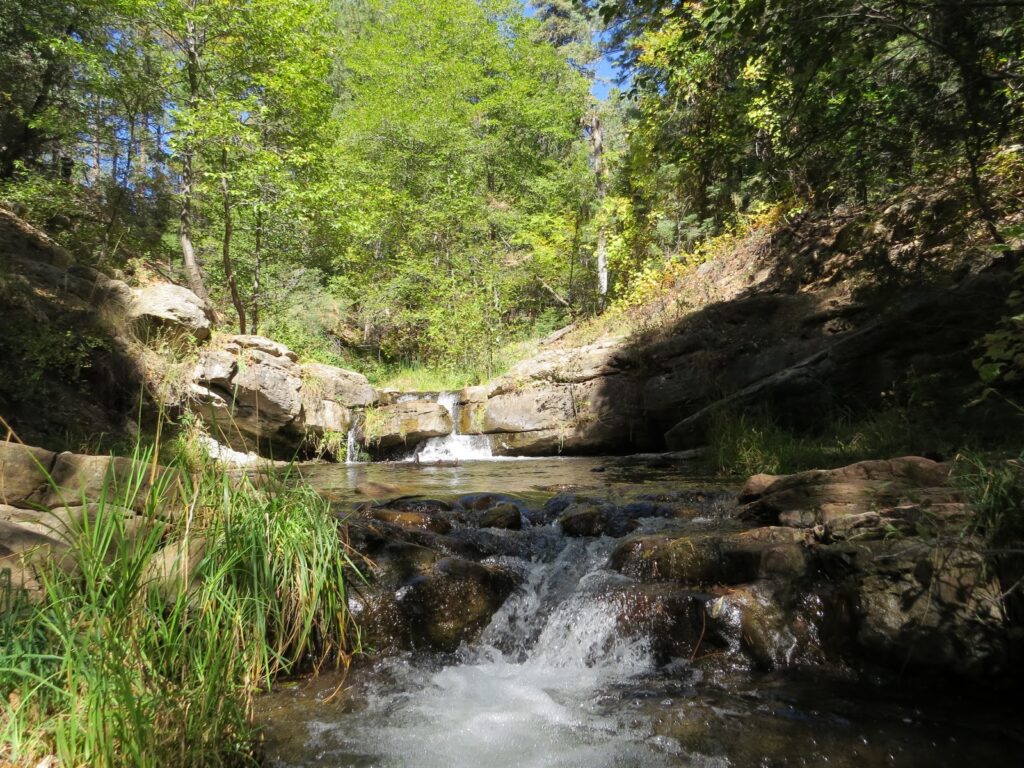
The eight-mile Horton Creek Trail winds under the Mogollon Rim and through towering Ponderosa pines and seasonal wildflowers. There’s plenty of shade, and the temperatures at this high-elevation spot make it a cooler-than-average hike.
If you arrive at Horton Spring after snow runoff or a monsoon storm, you’ll be greeted with the sight of a roaring waterfall crashing over moss-covered boulders. While the spring-fed water tends to be chilly, and the pool itself isn’t deep enough for diving, it’s still an ideal place to rejuvenate aching legs.
Directions to trailhead: Travel 17 miles east of Payson on State Hwy. 260. Just east of Mile Marker 269 at Kohl’s Ranch, turn left (north) on Forest Road 289 for one mile to reach the trailhead.
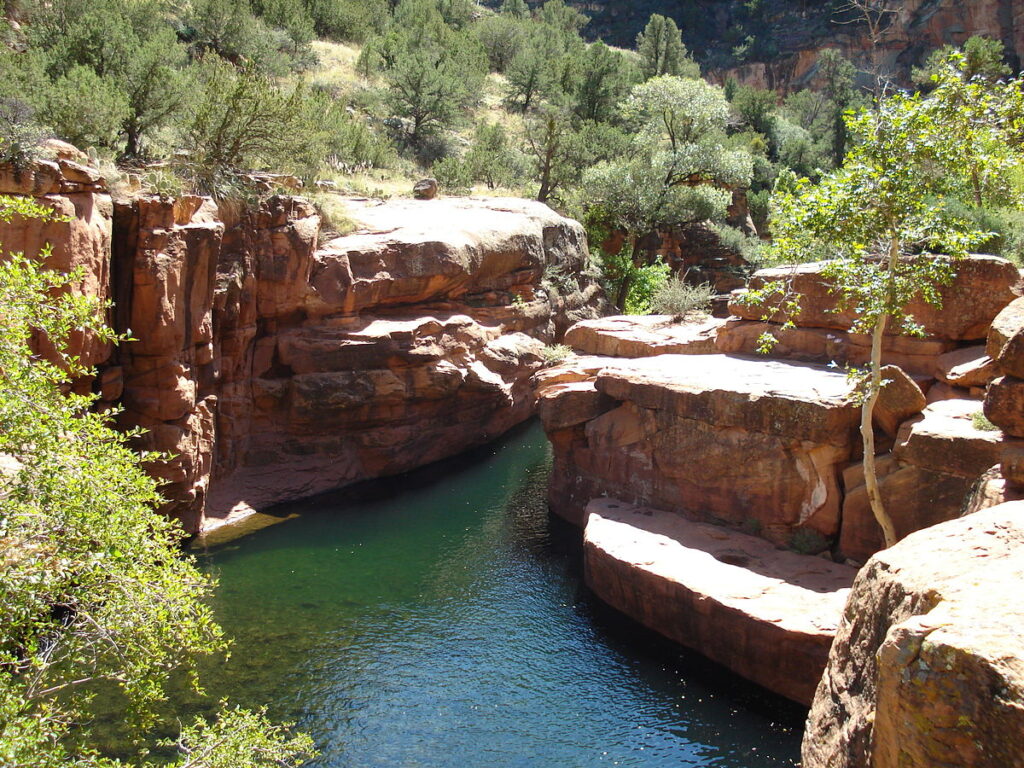
Bell Trail follows Wet Beaver Creek to one of the most sought-after swimming holes in the region: The Crack. About 3.5 miles into the hike, you’ll stumble upon this picture-perfect desert oasis—a clear, cold, deep pool wedged in a slot canyon. Rounded and smooth sandstone formations surround the waters and shady trees jut out of the rocks.
Whether you’re cliff jumping off the Tongue of the Beaver, wading in the creek or just lazing in the sun, The Crack is what secret swimming holes are all about.
Directions to trailhead: Drive south from Flagstaff on I-17 to the AZ Highway 179 exit. Leave the freeway here and drive 2 miles east on Forest Road 618 to the campground. FR 618 is graveled and suitable for sedans in most weather.
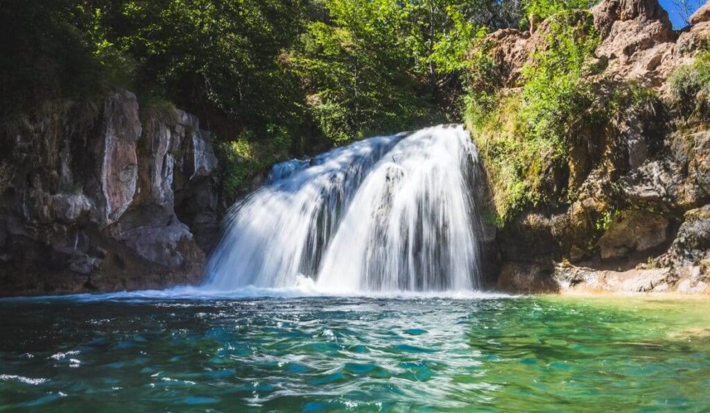
Most people come to Fossil Creek to sunbathe, wade, hike and birdwatch. It’s also a great place to take photographs. The lushness of the riparian area strikes a sharp contrast to the brittle desert that surrounds it. While you’re here, keep an eye out for javelina. These collie dog-sized wild pigs are plentiful in the area.
The Apache and Yavapai people of the Verde Valley lived along Fossil Creek for generations. Even today, they recognize and care for the canyon as their Ancestral homeland and return here to connect with their past and honor their heritage. Please respect their special feelings as you visit the sacred landscape of Fossil Creek and please leave it looking as if you were never here. Visiting with respect preserves Fossil Creek for future generations.
Fossil Creek is one of only two National Wild & Scenic rivers in Arizona and is fed by springs coming from the cliffs of the Mogollon Rim. Over 30 million gallons of water are discharged each day at a constant 70 °F. The high mineral content leaves travertine dams and deposits, giving rise to fossil-like features.
Fossil Creek recreation sites can be accessed in two ways. The first is by taking State Route 260 near Camp Verde to Forest Road 708 and driving the 14 miles of rough dirt road to designated parking lots and creek access sites near Fossil Creek.
How much does it cost to get into fossil creek
Spring-Summer Season (April 1 – October 1): $6 pre-purchased parking permit required. No fees in Fall-Winter Season.
This trail leading into Sycamore Canyon is spectacular, dropping from a scrubby high desert into a jungle-like oasis. The trail scrambles 200 feet down the canyon wall to the creek bed and from there makes easy going through a tunnel of leafy shade.
Pools form along the way, creating rippled mirrors that reflect the canopy of treetops and high cliffs that surround me. Sycamore is the second largest canyon in the state but there’s a special intimacy to this segment of the gorge, shaggy with greenery.
The trail swings from one side of the creek to the other several times. It follows a sandy path and crosses limestone ledges at the water’s edge. After four miles it reaches Parsons Spring, a wide marshy area that signals the end of the trail and reminds us to believe in improbable things.
Where: From Phoenix, take I-17 North to the AZ-260. Head northwest to Cottonwood. From Cottonwood, drive northwest on Main Street, following signs to Tuzigoot National Monument. Turn right on Tuzigoot Road, cross the Verde River and turn left on Sycamore Canyon Road, (FR 131). Drive about 11 miles to the trailhead. The dirt road has a couple of rough spots but is usually accessible to sedans.
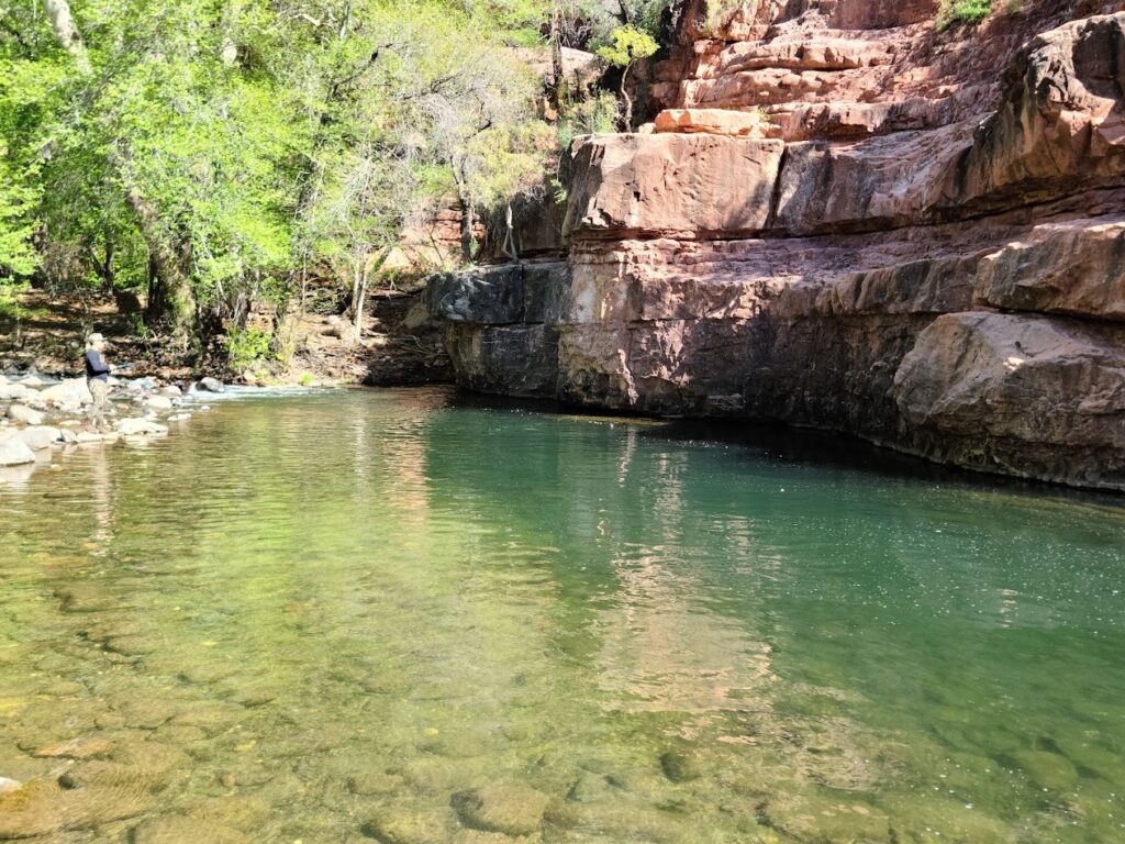
The lesser-known cousin to Slide Rock State Park, Grasshopper Point is a popular Arizona swimming hole that offers relief from the crowds as well as the summer sun. The calm waters at Grasshopper Point are perfect not only for swimming, but tubing as well. There are also two platforms, one 10 feet high and the other 25 feet high, that will give more adventurous visitors their adrenaline fix safely.
The abundant shade is just one more reason Grasshopper Point is one of the best swimming holes in Arizona, making it the perfect place to relax a summer day away
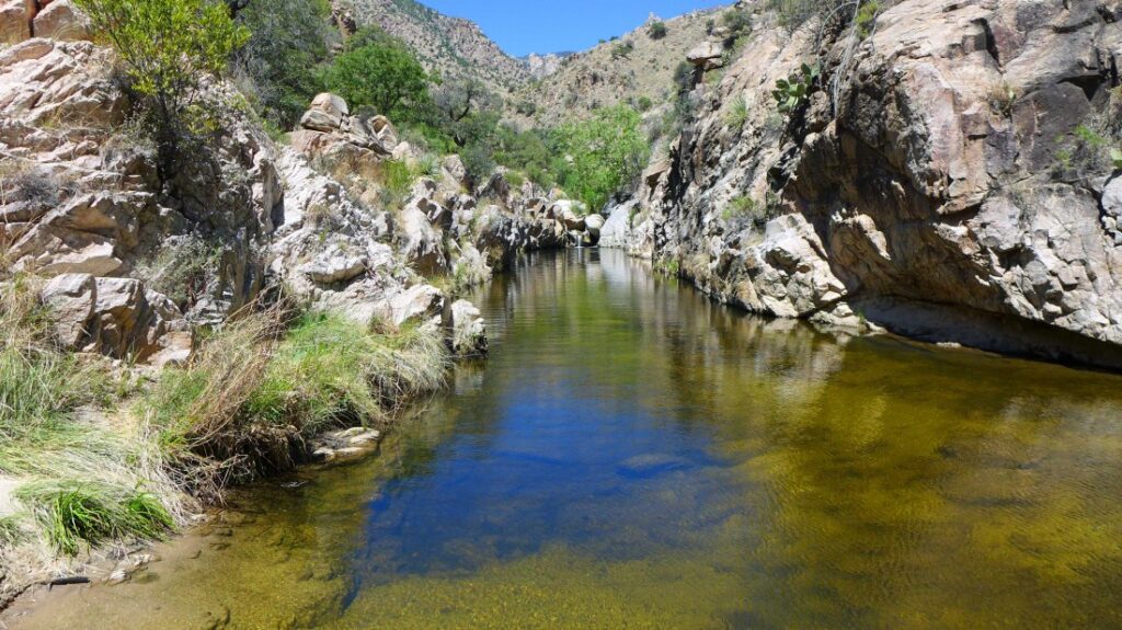
A moderate 3.9-mile hike along the Sabino Canyon Trail to Hutch’s Pool leads visitors to a picturesque swimming hole. The clear waters, perfect for floating and jumping, paired with the picture-perfect canyon views, make this one of the best ways to spend a summer day in Arizona.
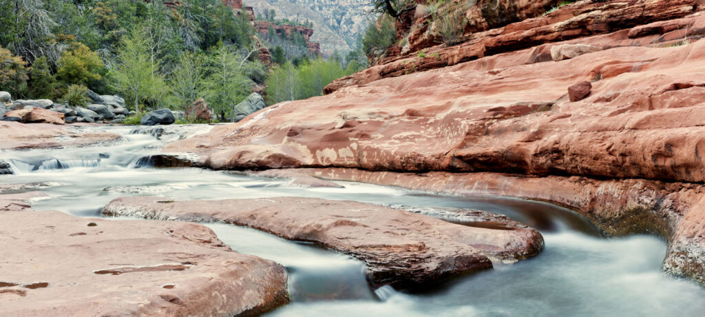
Slide Rock State Park, originally the Pendley Homestead, is a 43-acre historic apple farm located in Oak Creek Canyon. Frank L. Pendley, having arrived in the canyon in 1907, formally acquired the land under the Homestead Act in 1910. Due to his pioneering innovation, he succeeded where others failed by establishing a unique irrigation system still in use by the park today. This allowed Pendley to plant his first apple orchard in 1912, beginning the pattern of agricultural development that has dominated the site since that time. Pendley also grew garden produce and kept some livestock.
As one of the few homesteads left intact in the canyon today, Slide Rock State Park is a fine example of early agricultural development in Central Arizona. The site was also instrumental to the development of the tourism industry in Oak Creek Canyon. The completion of the canyon road in 1914 and the paving of the roadway in 1938 were strong influences in encouraging recreational use of the canyon. Hence, Pendley followed suit and in 1933, built rustic cabins to cater to vacationers and sightseers.
Todays visitors can still enjoy the fruits of Pendley’s labor. Historic cabins are available for viewing, and the creek offers the park’s namesake slide for adventures seekers and those looking for a place to cool off.